

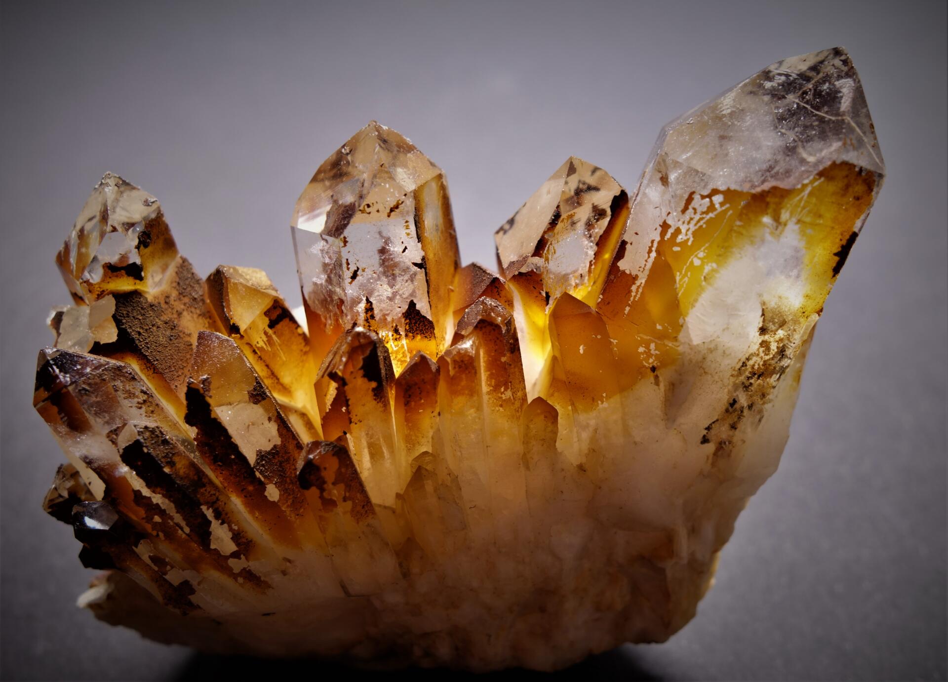
Weißenstadt is also known as the town on “crystal ground”: several veins of rock crystal run through the ground beneath it.
From the 15th century well into the 18th century, crystals were mined in underground cellars in the town.
How crystals form
Show transcript
Around 300 million years ago, the collision of the continental plates of Gondwana and Laurussia during the Variscan orogeny also began to form what would later become the Fichtel Mountains. Magma forced its way up from deep within the Earth, under high pressure and at high temperature, into the folding mountain range, where it eventually solidified into granite. As it cooled, and as a result of further tectonic changes, cracks and fissures formed in the granite and filled with mineral solutions. As pressure and temperature fell, these crystallised and formed quartz veins, which became enriched with pyrite, cassiterite or other minerals. Beneath Weißenstadt – as Gümbel describes in his geognostic description of the Fichtel Mountains – there runs a quartz vein that is distinguished by the frequent occurrence of beautiful, water-clear quartz crystals, such as are also found on the Strahlenberg, at the Egkerte and near Bernstein.
Around 300 million years ago, the collision of the continental plates of Gondwana and Laurussia during the Variscan orogeny also began to uplift what would later become the Fichtel Mountains. Magma forced its way up from deep within the Earth, under high pressure and at high temperature, into the folding mountain range, where it eventually solidified into granite. As it cooled, and as a result of further tectonic changes, cracks and fissures formed in the granite and filled with mineral solutions. As pressure and temperature fell, these crystallised and formed quartz veins, which became enriched with micaceous haematite, cassiterite or other minerals. Beneath Weißenstadt, writes Gümbel in his geognostic description of the Fichtel Mountains, there runs a quartz vein that is distinguished by the frequent occurrence of beautiful, water-clear quartz crystals, such as are also found on the Strehlenberg near Marktredwitz and near Bernstein.

The rock crystal mine in Lange Straße
Show transcript
In 1719, the old shaft of the crystal mine in Lange Straße was reopened. At a depth of around eight metres, however, the miners came up against heavy inflows of water and foul air, which made it impossible to reach the bottom of the shaft or to explore the galleries leading off it. Work therefore began on reopening the drainage adit near the Angermühle. The first 30 metres had to be shored up with timber. Beyond that, the adit turned out to have been driven around 40 metres through solid granite towards the town. In 1726, a new air and hoisting shaft, nine metres deep, was sunk at the end of the adit. The adit was then extended by a further 21 metres. Mining master Johann Georg Ullmann drew up a plan of the work carried out in 1726; one copy survives in the Bamberg State Archives and another in the Weißenstadt Town Archives. When work stopped at the end of 1726, the adit would still have had to be extended by around 260 metres to reach the crystal mine in Lange Straße. Margrave Friedrich, however, considered this too costly, especially as further crystal deposits had been discovered in Weiherhöfen and Raumetengrün that were cheaper to exploit.
In 1719, the old shaft of the crystal mine in Lange Straße was reopened. At a depth of around 8 metres, however, the miners came up against heavy inflows of water and foul air, which made it impossible to reach the bottom of the shaft or to explore the galleries leading off it. Work therefore began on reopening the drainage adit near the Angermühle. The first 30 metres had to be shored up with timber. Beyond that, the adit turned out to have been driven around 40 metres through solid granite towards the town. In 1726, a new air and hoisting shaft, nine metres deep, was sunk at the end of the adit. The adit was then extended by a further 21 metres. Mining master Johann Georg Ullmann drew up a plan of the work carried out in 1726; one copy survives in the Bamberg State Archives and another in the Weißenstadt Town Archives. When work stopped at the end of 1726, the adit would still have had to be extended by around 260 metres to reach the crystal mine in Lange Straße. Margrave Friedrich, however, considered this too costly, especially as further crystal deposits had been discovered in Weiherhöfen and Raumetengrün that were cheaper to exploit.
Text by Harald Stark, Kulmbach
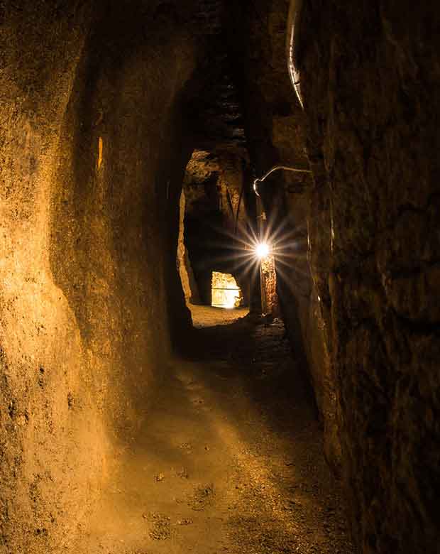
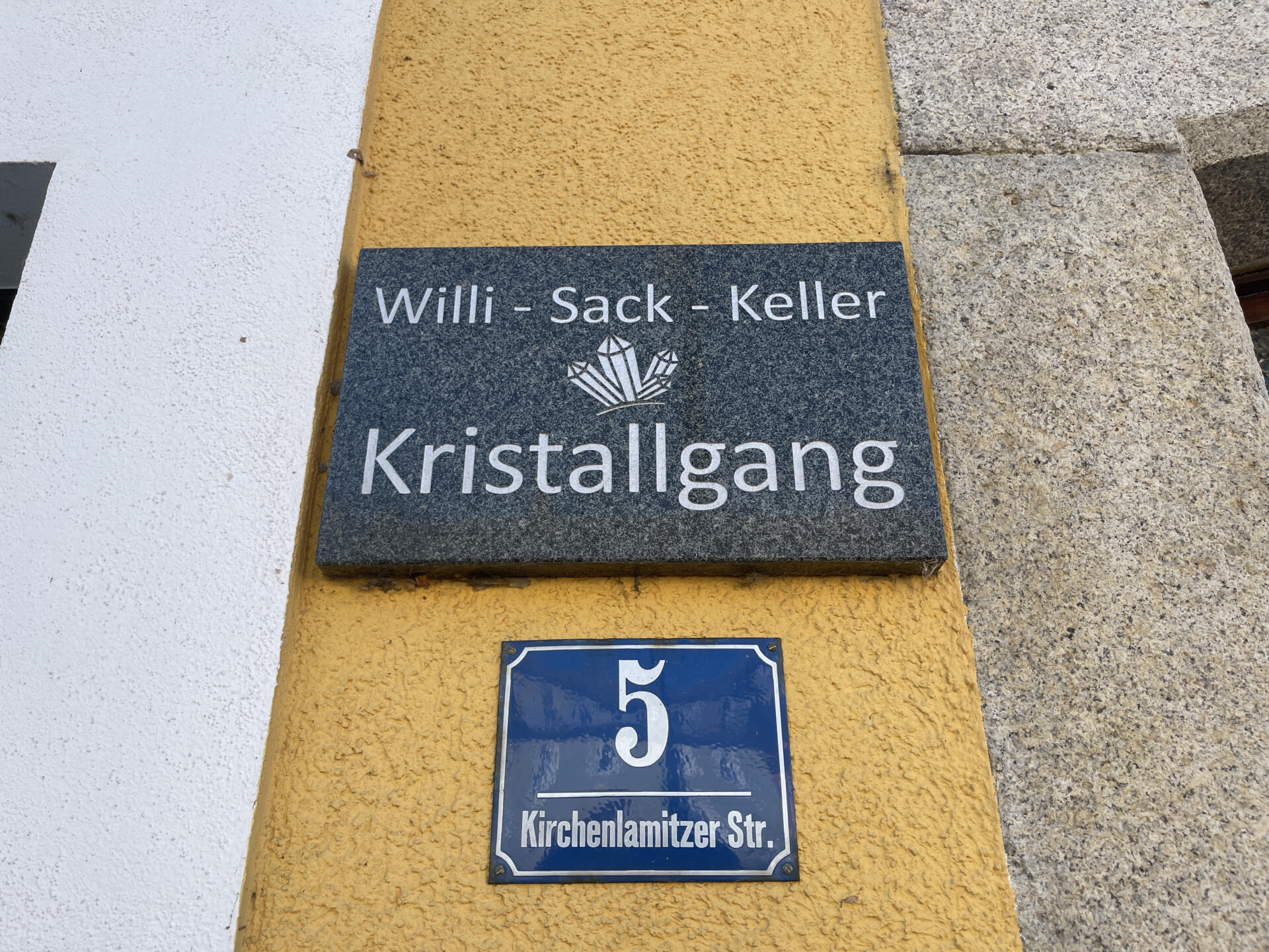
Virtual tour of the former mine in the town centre
The entrance to the former mine in the centre of Weißenstadt was in Lange Straße. You can take a virtual tour here:
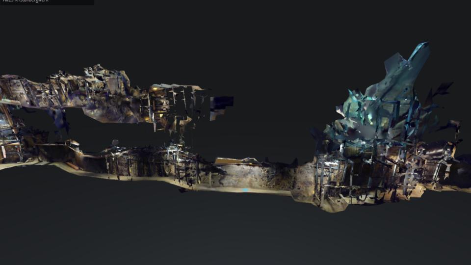
Virtual tour of a former mine in the centre of Weißenstadt
This mine can no longer be entered today. It had to be filled in for safety reasons.
Location
You are currently viewing a placeholder content from OpenStreetMap. To access the actual content, click the button below. Please note that doing so will share data with third-party providers.
More Information