Hiking
Waldstein, Rudolfstein, Egerquelle, Jean-Paul-Weg, Höhenweg, Fränkischer Gebirgsweg… Weißenstadt is simply the perfect place for hiking!
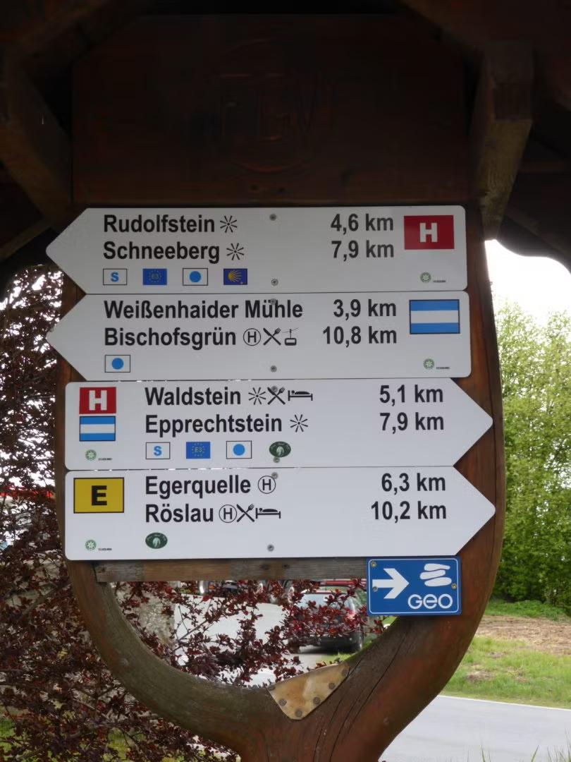
Click here for a map including all trails in and around Weißenstad!
1. The Path of Life (“Der Eger-Lebenspfad”)
Informative stroll by the lake.
Explore the path of life and learn more about the various plants and animals of the region. The 900m long trail will educate you about dragonflies, bats, butterflies and their plants and many other fascinating topics. Watch birds at the observation point or enjoy the refreshing river ford!
Additionally, you can test your knowledge on a range of subjects.
The fully accessible path is opened all year long.
You can download the flyer right here as a PDF file or visit us in the Resort- and Tourist Information Center in Weißenstadt.
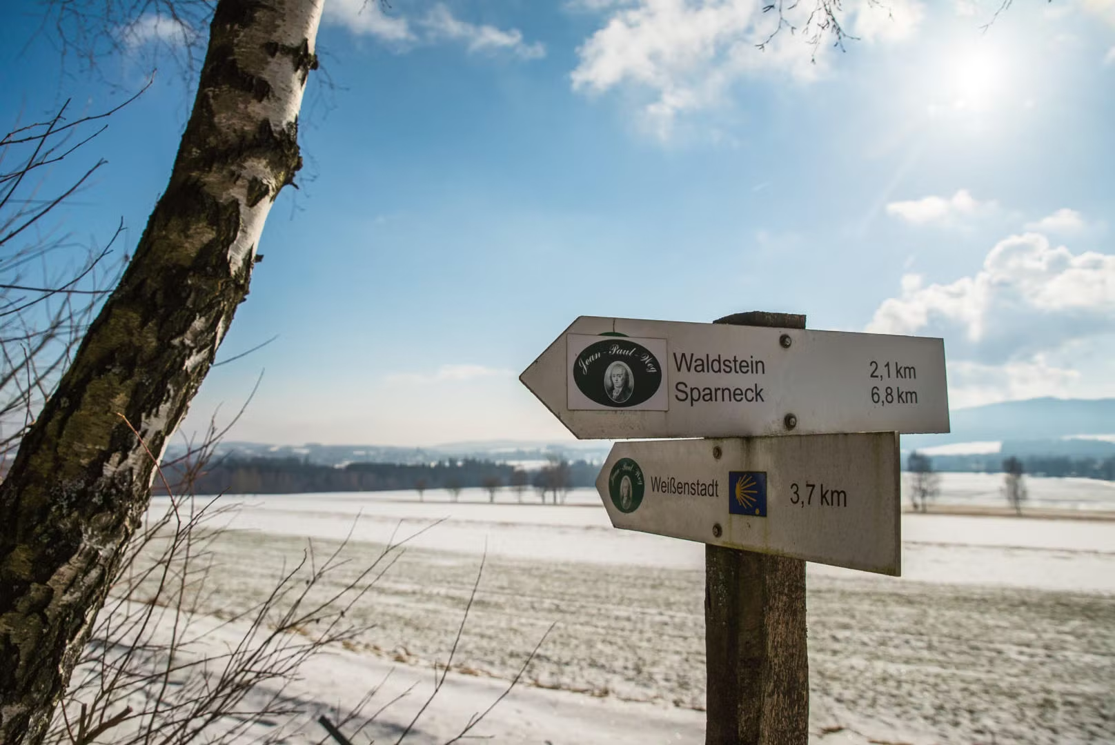
2. The Jean-Paul-Trail (“Der Jean-Paul-Weg”)
Hikes with stations all about literature following the footsteps of Jean Paul.
- “Visiting relatives” Schwarzenbach a.d.S. to Weißenstadt
- “You small, but kind and luminous city“ Weißenstadt to Wunsiedel
- “The healing power of the Fichtelgebirge“ from Wunsiedel to Nagel
- Hiking in stages to Jean Paul’s life stations in Upper Franconia
Johann Paul Friedrich Richter, who called himself Jean Paul, was once the most imaginative and most popular author in the German-speaking area. He loved Upper Franconia, although that term was formed much later. Many places in the area around and between Bayreuth and Hof became the subjects of his books, letters and other literary reflections. His numerous hikes through the Fichtelgebirge greatly inspired and encouraged him.
The Jean Paul Weg, which, after its completion, will lead all the way from Joditz to Hof to Schwarzenbach a.d.S. to Wunsiedel to Bayreuth and all the way to Sanspareil, guides hikers through places and landscapes that shaped his life and meant incredibly much to him.
Strolling through these sceneries enhanced with snippets of Jean Pauls writing and thoughts on info panels along the way, brings hikers closer to the author and demonstrates just how universal many of his ideas were.
You can find the current info material of the „Jean-Paul-Weg“ with information regarding the individual stations here:
Jean-Paul-Weg‑1 — Jean-Paul-Weg‑2
3. Hiking to the Rudolfstein
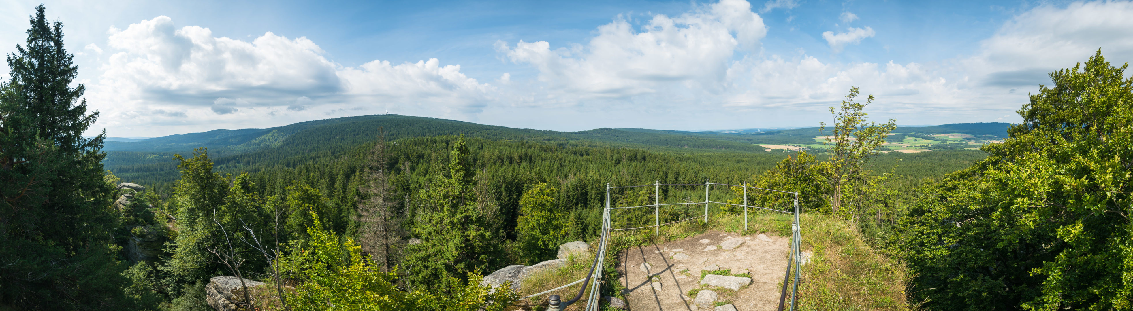
The entry point to the ridgeway is located near the Information barn by the lake in Weißenstadt.
You hike through Weißenstadt (asphalt) to the Friedhofskirche (church by the cemetery), past the “Kellerhaus” and the rock cellars towards the Lederer residential area. In the forest always head towards the direction of the “Höhenweg-Rudolfstein” (Rudolfstein ridgeway).
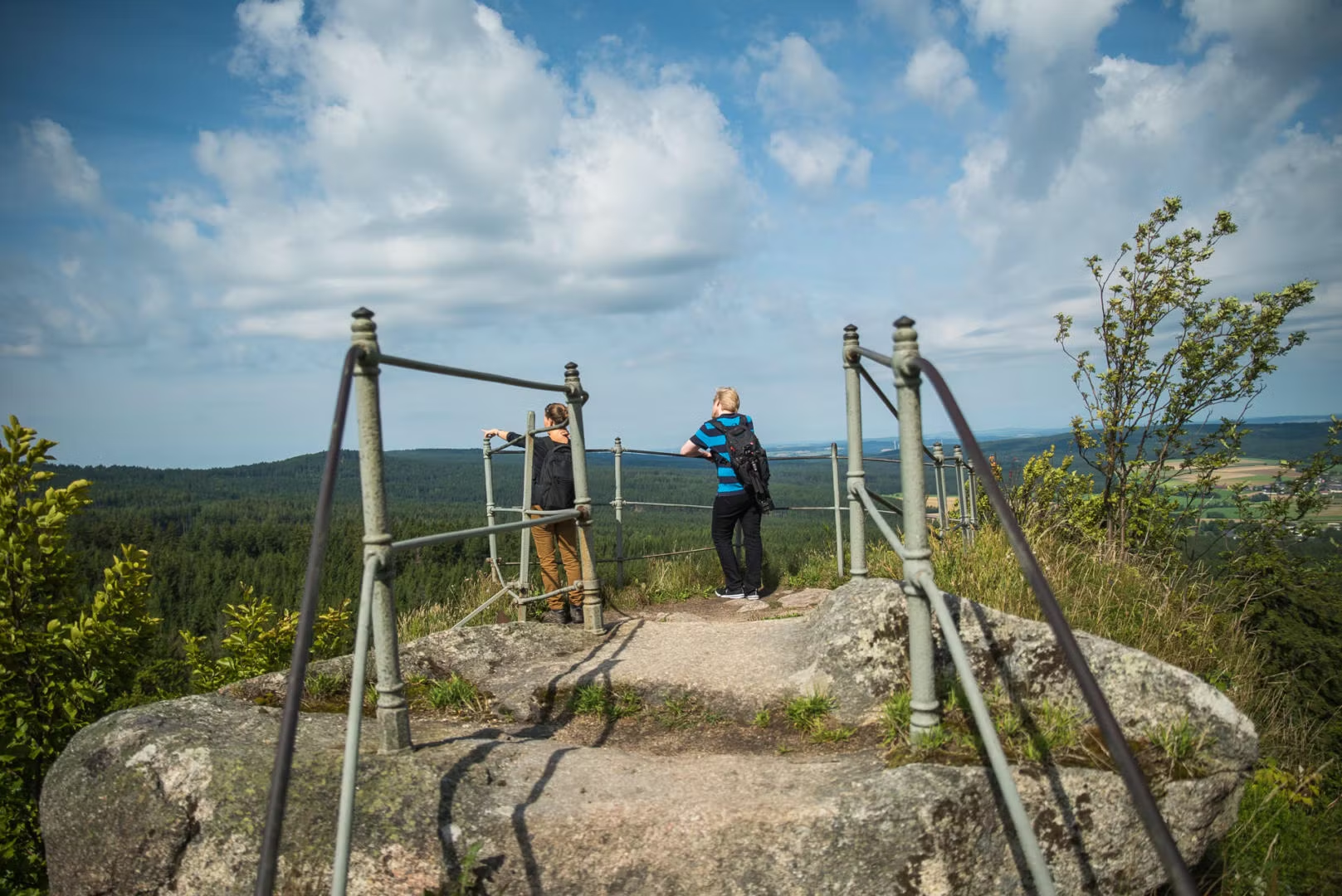
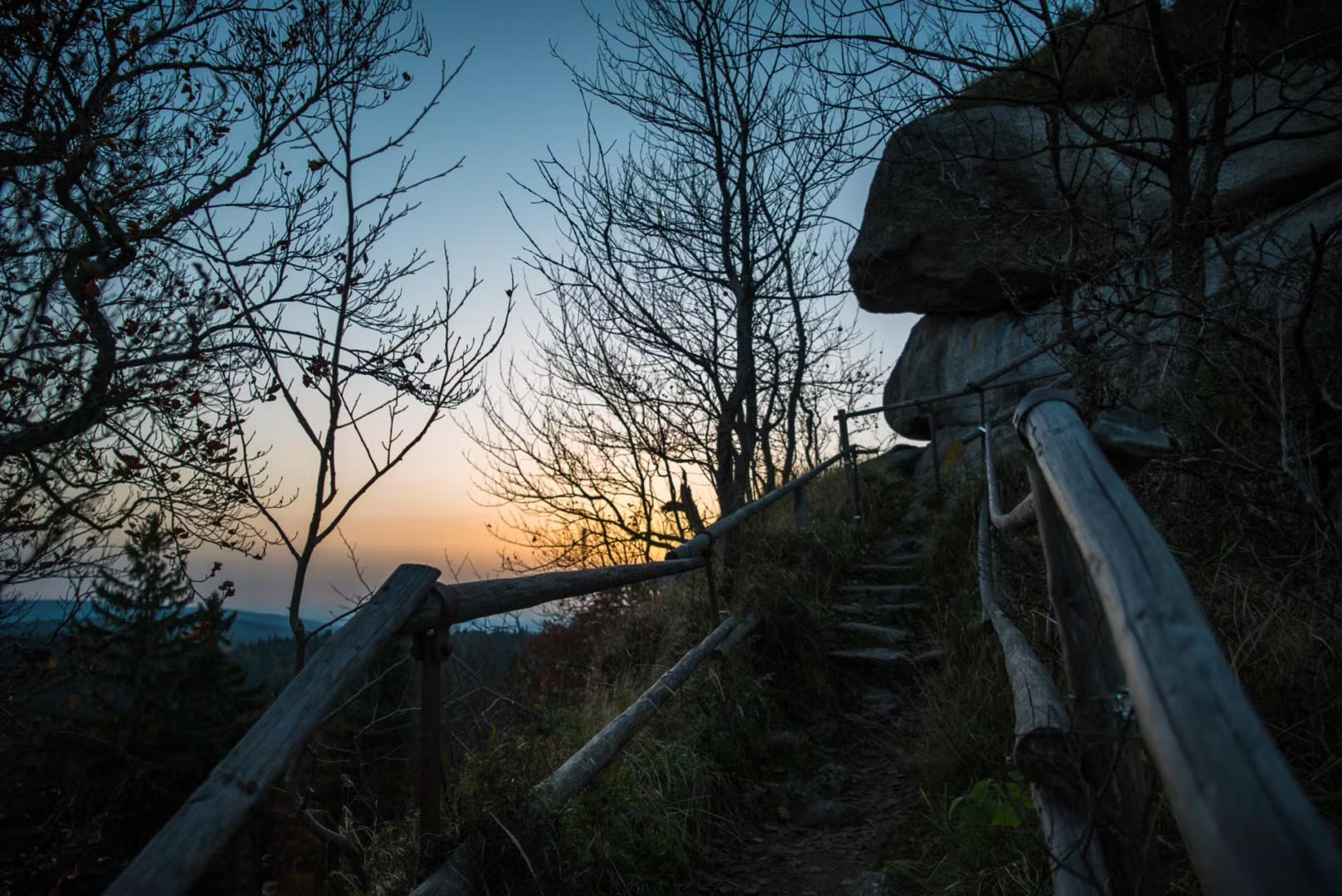
The Rudolfstein is home to the gigantic granite-towers „Die drei Brüder“ („the three brothers“), which ist one of the most beautiful geotopes in Bavaria. The northern rock with the cross on top is a very popular destination for rock climbing. The highest rock, which is accessible by wooden stairs, offers a wonderful panorama of the surrounding Mountains and the Weißenstadt valley with the lake. According to documents dating back to the year 1317, the hilltop once held a castle of which no traces are visible today. Blue and white markers lead downhill towards the Weißenhaider Mühle (Weißenhaider Mill) which is currently closed and towards Schönlind-Zechenhaus. Here you can find the access point to the Egerweg, which leads through the Egerlebenspfad and back towards the lake and the information barn.
| Trailhead: | Infoscheune (information barn) nature park Fichtelgebirge or Friedhofskirche (cemetary church) |
|---|---|
| Route: | Infoscheune (information barn), Lederer, Rudolfstein, Weißenhaider Mühle, Schönlind, Weißenstädter See, Infoscheune (information barn) |
| Duration: | 3 hours |
| Length: | 6,5 km, some steep sections |
| Elevation: | Trailhead: ca. 600 m uphill to 866 m (Rudolfstein), back down to 600 m |
| Trails: | Pathways (25%), forest paths (50%), paved roads (~25%) |
| Difficulty: | medium to difficult |
| Markers |
  
|
Useful PDFs to download:
4. Hike to the Great Waldstein (“Großer Waldstein”)

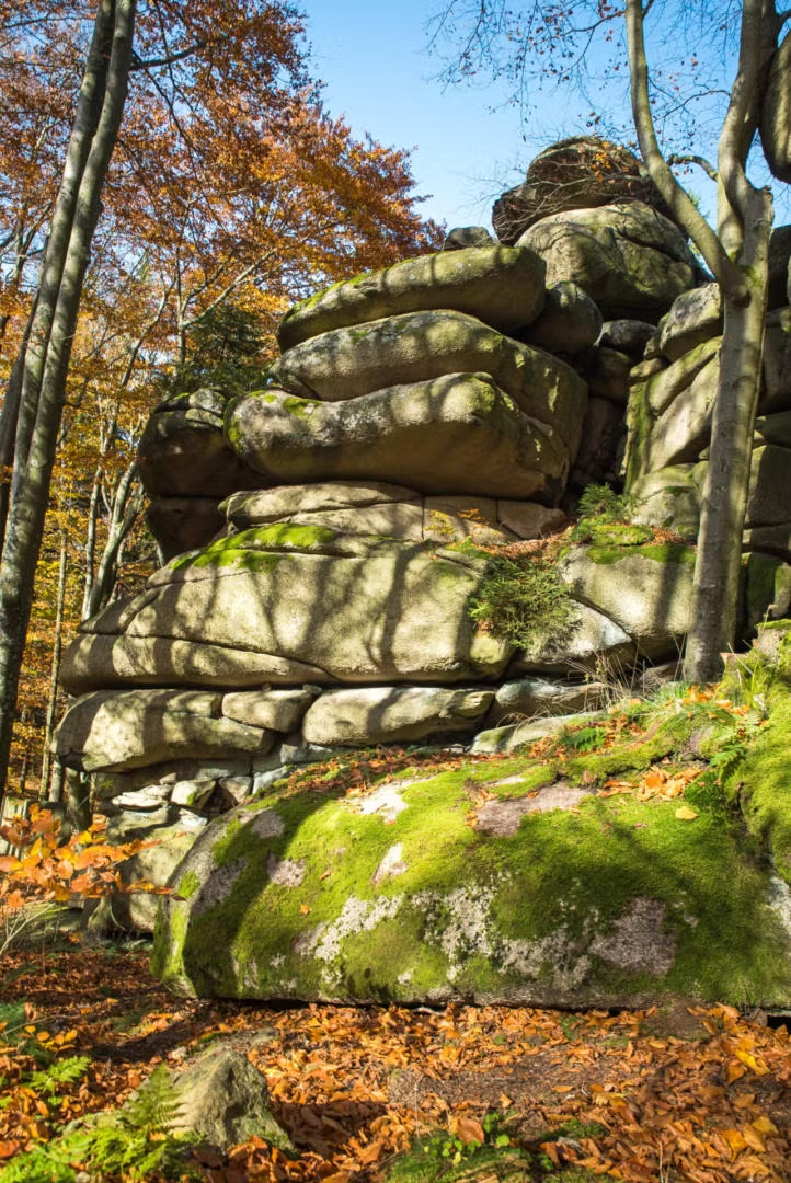
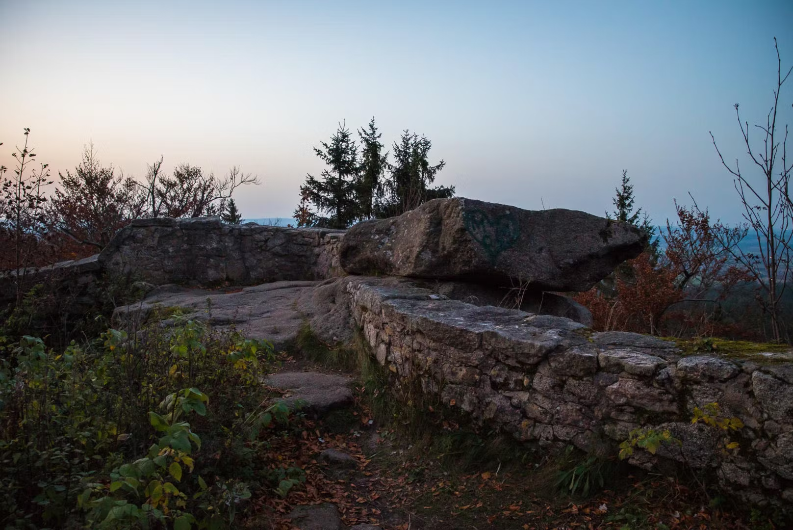
Leave Weißenstadt on the ridgeway to the northwest close to the campsite parking lot (Stadtbadgaststätte Weißenstadt). After about 40 minutes you will arrive at the Dr. Goepelstein (stone monument) standing on the right side of the road.
Pretty soon you will reach the summit of the Great Waldstein (877 m) which is the highest point in the northern part of the horseshoe-shaped Fichtelgebirge. It divides the Weißenstadt valley from the Münchberger valley.
In the courtyard of the Red Castle (“Rotes Schloss”) you will find the infamous Devil’s Table (“Teufelstisch”). The Pavillon which was erected on top of the Keyrock (“Schlüsselfelsen”) in 1881 offers a breathtaking panorama.
To the west of the Waldsteinhaus you can find an odd, small building. The so-called Bear-Dungeon (“Bärenfang”). It was built in 1650 and was actually used to hold captured bears.
On the way back, follow the lake trail eastward in order to reach a quarry. The rest of the lake trail leads downhill. Walk past the former country hostel (“Schullandheim”), leave the forest and you can already see the Weißenstadt lake. Dirt roads now lead back towards the trailhead.
| Trailhead: | Stadtbad / Campsite in Weißenstadt |
|---|---|
| Route: | Stadtbad / Campsite, Dr. Goepelstein, Waldsteingipfel, Stadtbad |
| Duration: | 2 to ca. 2,5 hours |
| Length: | ~7 km, some steeper sections |
| Elevation: | Trailhead: ca. 600 m uphill to 877m (Waldstein) back downhill to 600 m |
| Trails: | Pathways (ca. 70%), forest paths and roads (30%) and paved roads (ca. 5%) |
| Markers: |  |
Useful PDFs to download:
5. Rock-Wellspring-Tour Weißenstadt
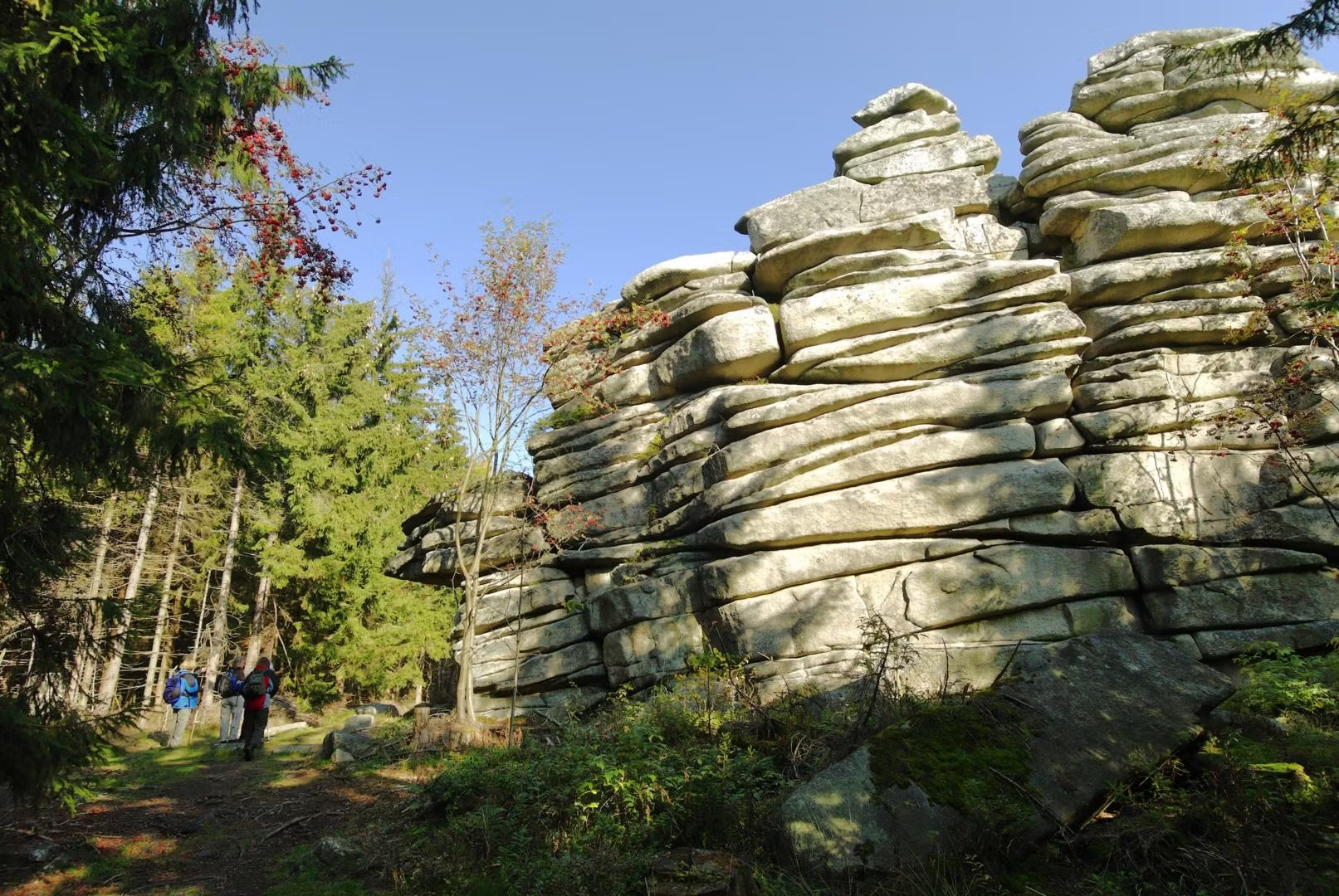
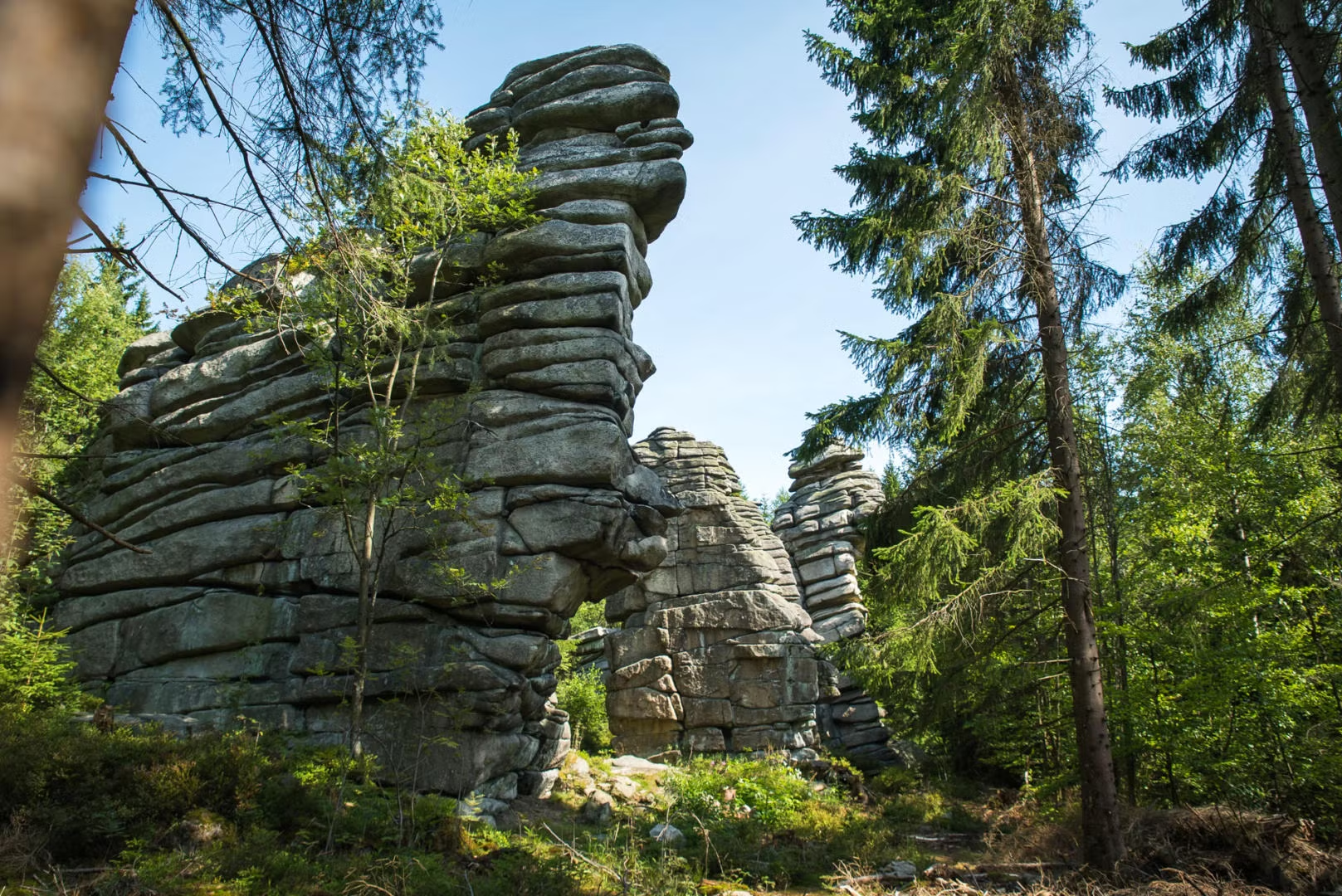
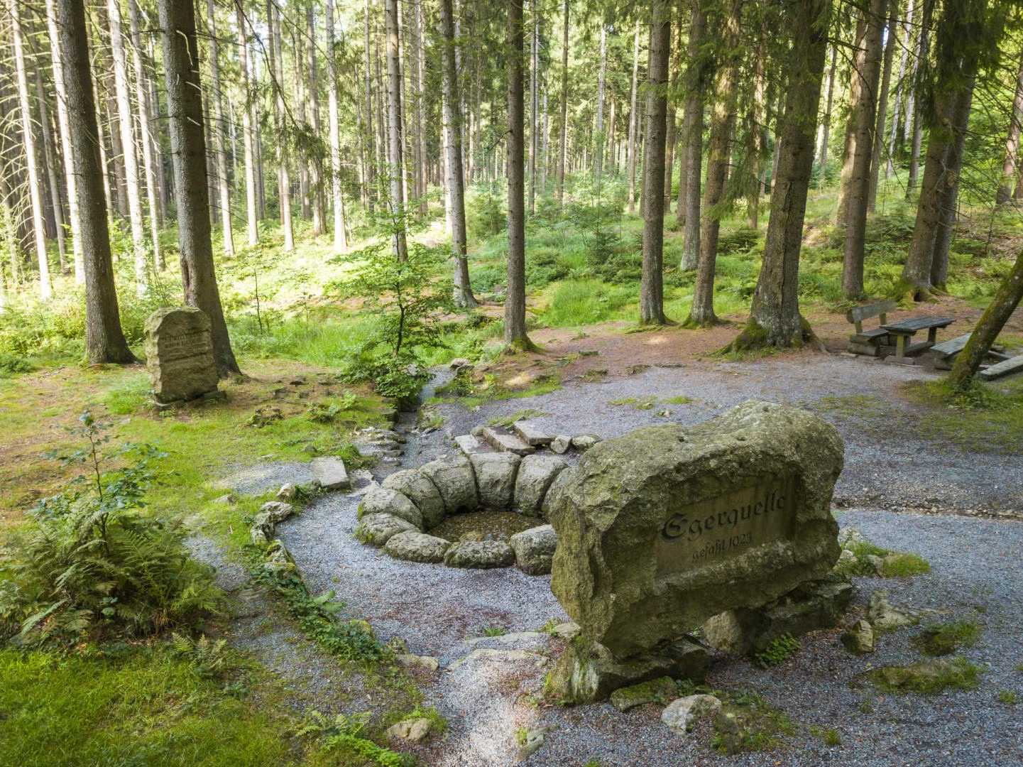
The ridgeway behind the Cemetery Church (“Friedhofskirche”) leads through the „Hobbit-landscape“ of the historic rock cellars of Weißenstadt and past the Lederer residential area. Just before the path leads into the forest, turn right and follow the „blue-white-blue“ marker along a forest path to the Schönlind district. Now follow the „blue dot“ marker uphill towards the Rudolfstein. Enjoy the vantage point overlooking Weißenstadt and the Fichtelgebirge with all its captivating Stone-formations. The geotope „Die drei Brüder“ („the three brothers“), which is ranked among the 100 most beautiful geotopes in all of Germany, will soon emerge. After another 400 m, turn right and head towards the Weißenhaider Eck following the „blue slanting bar“ markers. The Egerweg leads to the Egerquelle, a place of serene tranquility. Head downhill from there, across forest paths and cross the Voitsumra district. Now walk along the Egerweg, across the street and along the Eger-Lebenspfad towards the Weißenstadt lake. Follow the „E“s along the lake until you reach the „Bummeltränke“ where the Cemetery Church (“Friedhofskirche”) is then located to your right-hand side, bringing you back to your starting point.
| Trailhead: | Church by the cemetery in Weißenstadt, Bayreuther Straße |
|---|---|
| Route: | Weißenstadt rock cellars, Schönlind, Rudolfstein, Drei Brüder (three brothers), Weißenhaider Eck, Egerquelle, Voitsumra, Egerlebenspfad, Weißenstadt lake |
| Duration: | ca. 5 hours |
| Length: | 15,5 km |
| Elevation: | Trailhead: ca. 600 m, 246m uphill, 251m downhill |
| Trails: | Pathways (60%), forest paths (30%) and asphalt roads (ca. 10%) |
| Difficulty: | medium |
| Markers: |   |